I had heard that there was a walking trail in the Qu’Appelle Valley, part of the TransCanada Trail, and that it ran from somewhere in Lumsden to Deer Valley, a golf course and housing development 10 or 15 kilometres south of the village. I didn’t know much more than that. The maps I found online weren’t all that detailed, but I had a general idea of where the trailhead was and, as I wrote here recently, I was determined to find a new and interesting place to walk, one I couldn’t complain about in a blog post, and something told me that this new trail might be the one.
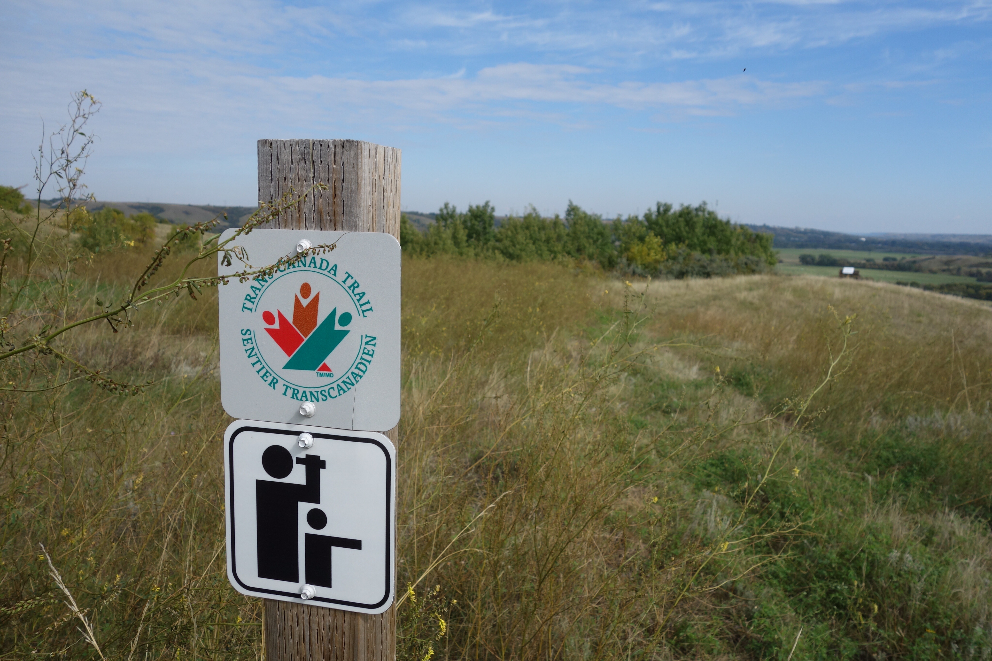
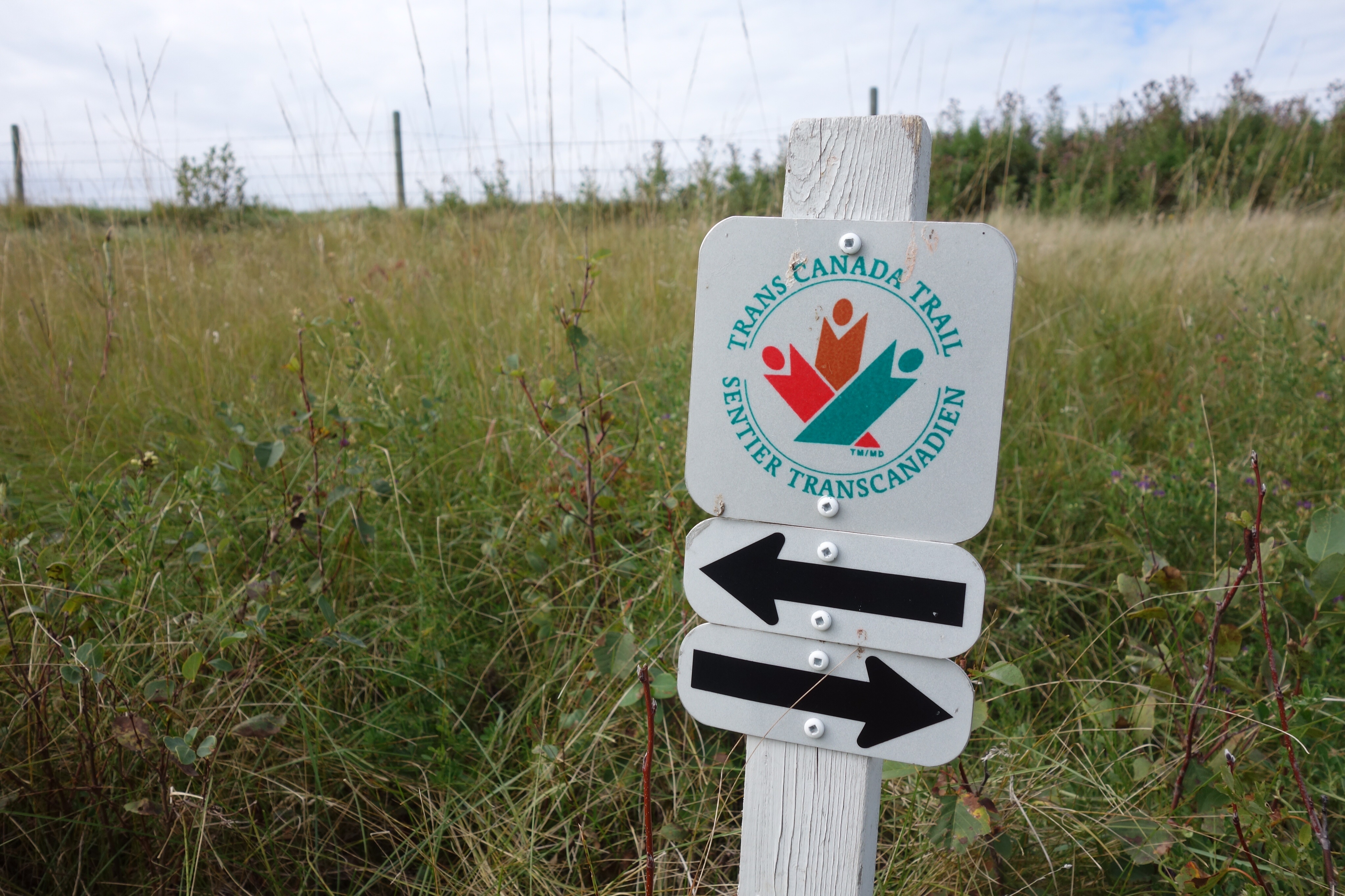
So yesterday morning I parked the car in Lumsden (which meant missing the second half of Michael Enright’s interview with Clive James on “The Sunday Edition,” but I can get the podcast, right?) and started walking. I walked along James Street and turned on Qu’Appelle Drive–that’s what the maps seemed to suggest. There were no waymarkers, though, and I wasn’t sure I was headed in the right direction. After about half an hour or so I saw a sign warning motorists that walkers on the TransCanada Trail would be walking along the road up ahead. So I wasn’t on the trail but I was about to be.
When the trail met the road, the waymarkers directed walkers to travel along the south ditch. Okay, I thought, I’ll give it a try. At first the going was okay because the ditch had recently been cut for hay. But soon I was wading through thigh-high grasses and weeds. There were few signs that anyone had walked along that way, except by the chokecherry bushes, where the grasses had been tramped down by people who had come to pick the fruit. After a while I gave up and returned to the road. I’ll keep watching the waymarkers in the ditch, I told myself, but I was discouraged and wondered what the trail was going to be like after it left the road and headed south, cross-country, towards Deer Valley. Maybe it’s only notional, I thought, something that exists on paper but not in actual fact.
I didn’t have to worry. After an hour or so of walking I came across a big map board with a shining red roof. This was the beginning of the Saw Whet Trail. According to the map, I’d been walking along the Lumsden Valley Trail since I saw the signs about the TransCanada trail, and if I walked all the way to Deer Valley, I’d be walking on the Deer Valley Trail. But if I turned south at the map board, I’d be walking on the Saw Whet Trail.
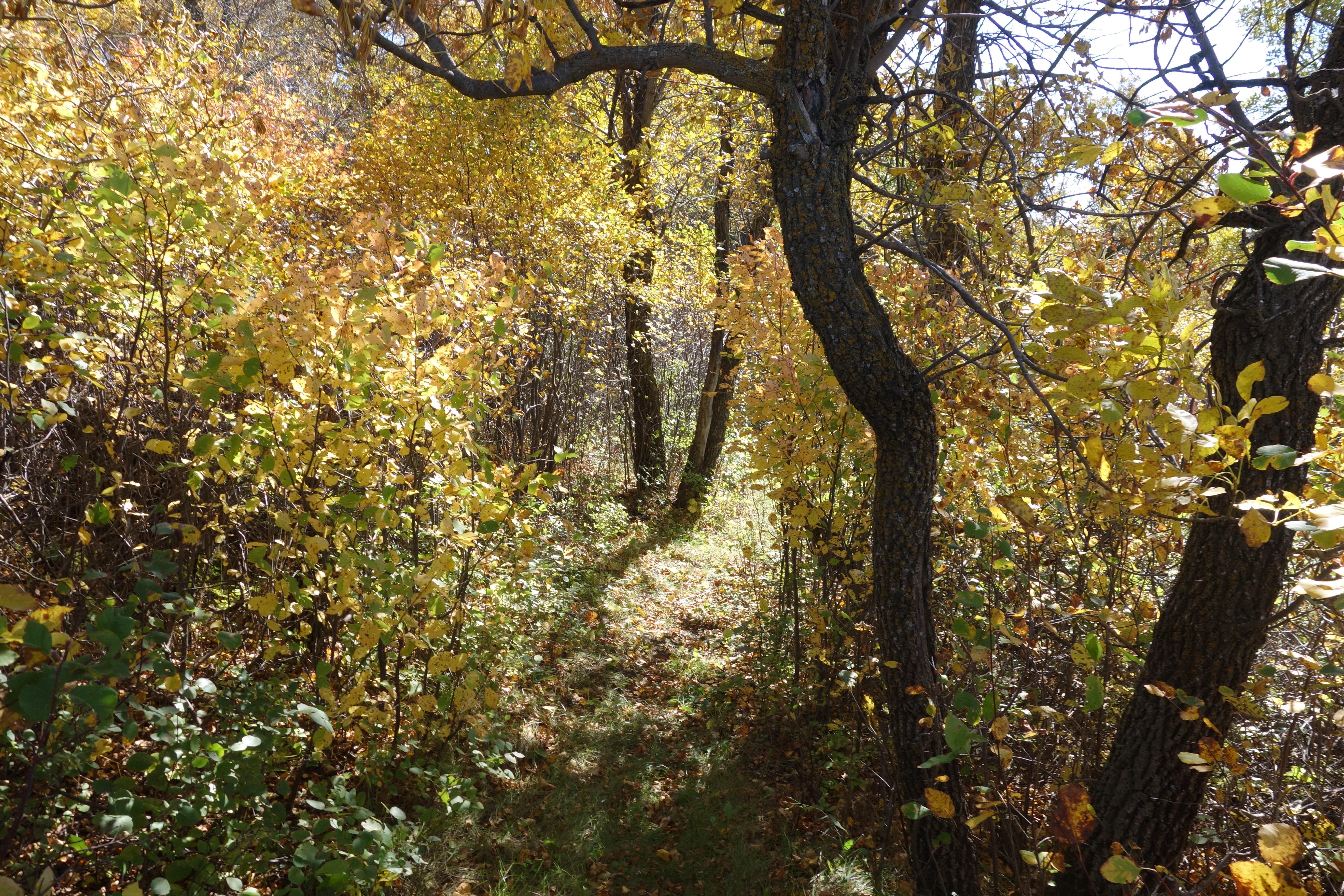
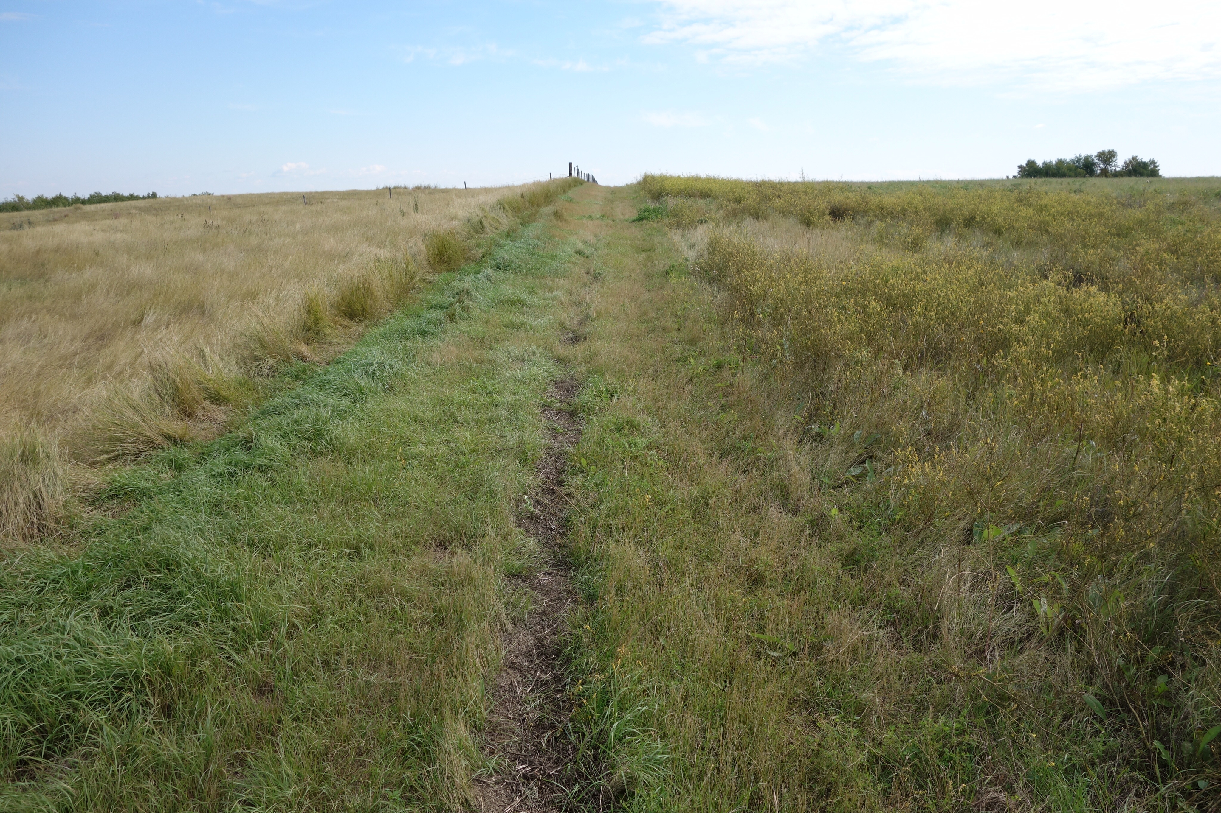
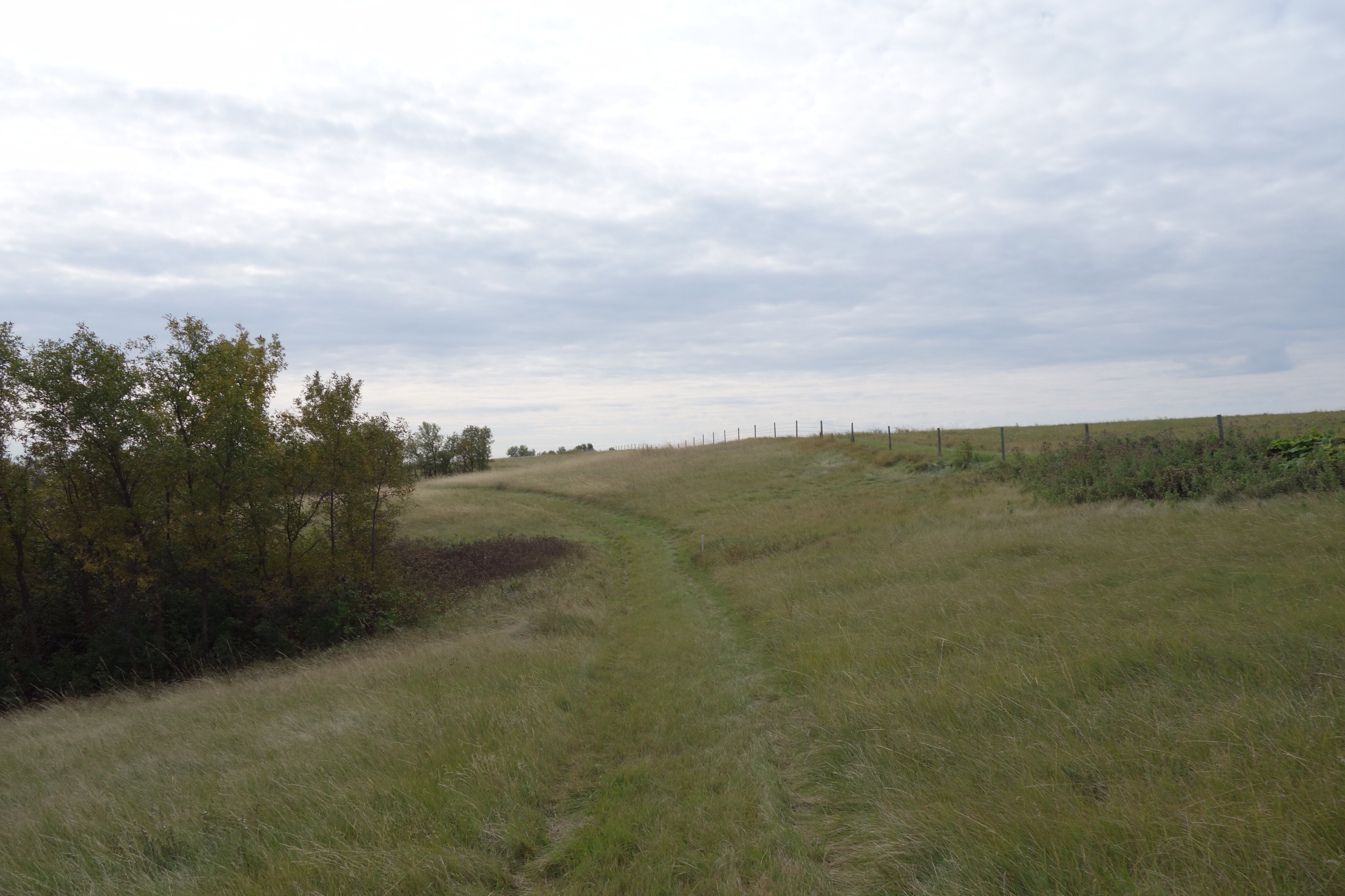
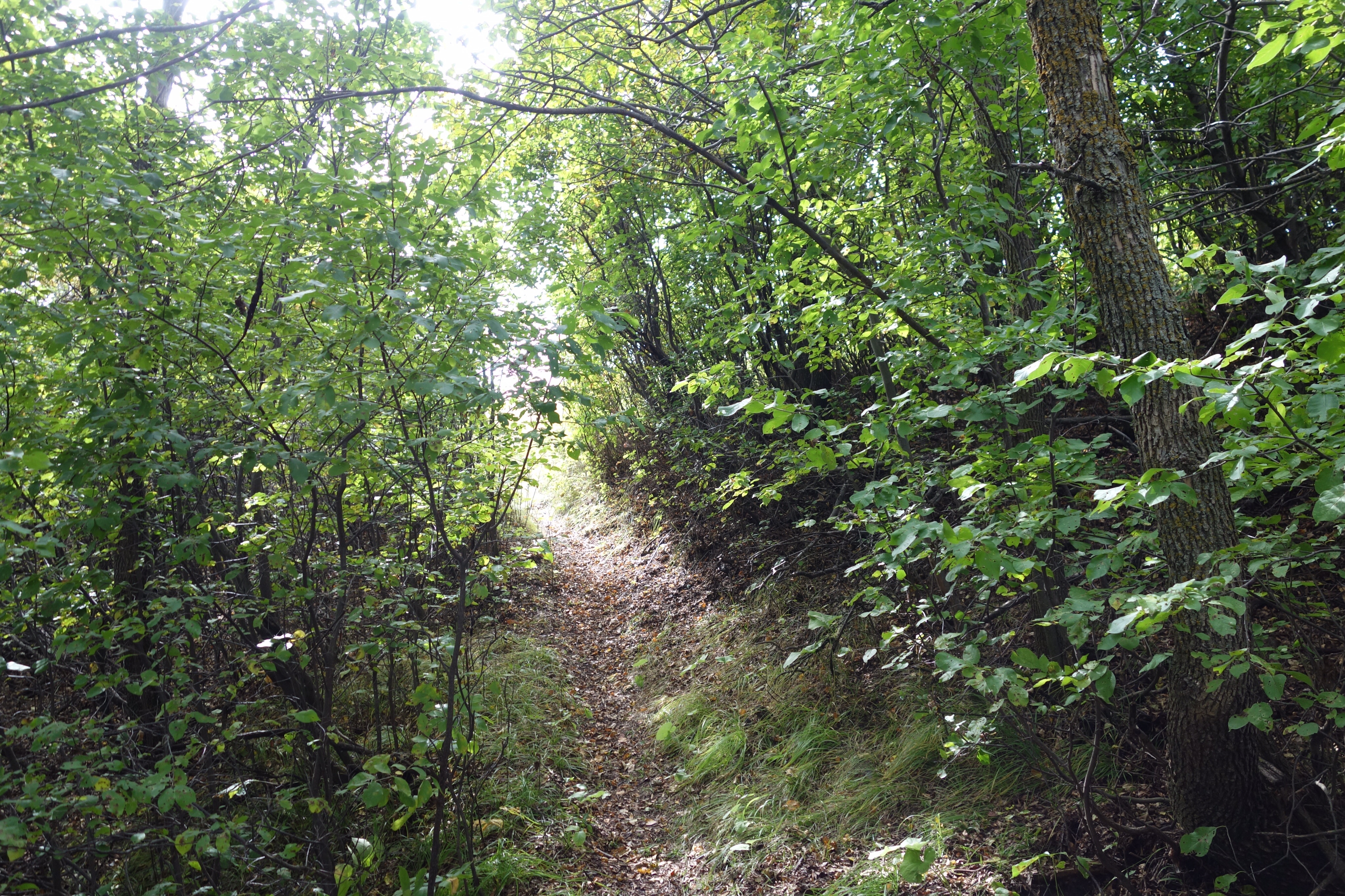
So I turned south. It was a brilliant day, warm and sunny, a perfect summer day in this part of the world. The trail was well-marked. It went through forests in coulees, up over pastures (some of which were unbroken native prairie), and alongside fields of canola and flax. For most of its length, the trail was mowed so it was impossible to lose the path. I suppose there aren’t enough walkers to keep a footpath open; as Robert MacFarlane points out in his book, footpaths are created and maintained by the simple act of walking along them. Where the path wasn’t mowed, though, the white posts that act as waymarkers were usually clearly visible and there was no need to worry about getting lost.
The path went over the hills dividing the Qu’Appelle Valley from the Wascana Valley, and then descended to follow Wascana Creek. I made a couple of detours to lookout points (all named after pioneers in the area) and to a makeshift campground (I wonder how many visitors it gets?). For a while the trail went along the aptly named Seven Bridges Road (which crosses Wascana Creek seven times). There I missed a turning and stayed on the road longer than I needed to, but there was little traffic and it really didn’t matter.
Then I came to the end of the Saw Whet Trail: another red-roofed map board. There’s a sculpture of an owl, which is appropriate, since the name of the trail refers to the northern saw whet owl, a smallish bird that spends its winters around here. The Deer Valley Trail continued up a side road, so I decided I’d carry on and see what it was like before I turned back towards Lumsden. Again the waymarkers directed me to walk in the pathless ditch. I wonder why the path isn’t mowed in the ditches here. Maybe those signs are there to relieve the TransCanada trail people, or the local RM, of any legal responsibility if someone walking along the road is hit by a car. I don’t know. There was another lookout, and then the trail turned along the road into Deer Valley, a development of jerry-built McMansions overlooking a golf course. I walked as far as the club house parking lot, where there was another map board, and then I turned back. I suppose I could’ve explored the club house or gone to the 19th hole for a beer, but I knew I had a long walk back and I didn’t feel like having a conversation about whether or not I was a member.
Retracing my steps was much quicker, because I didn’t make any diversions or side trips, and after seven hours and some 25 kilometres of walking I found myself back at the car. I was thirsty because I’d run out of water, and I was sunburned and my legs were sore, but I was very happy. The Saw Whet Trail was the best walking experience I’ve had around here since I started training for the Camino last year. The terrain is varied. There are hills to climb and descend. It’s quiet, except for the two hawks that kept following me, and the small plane flying in circles over a neighbouring valley. The act of walking on footpaths is, as always, wonderful. I loved it. I forgot my camera, so I don’t have any pictures, but I’m going back next weekend, weather permitting, and I’ll be sure to bring it then.